Our Services
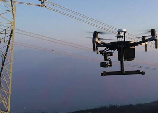
Drone Asset Inspection
A well prepared drone inspection strategy is crucial in monitoring the deterioration of assets. Service interruptions, faults, and general wear and tear caused by neglect costs tremendous amounts of money to correct.

Aerial Photography for Aerial Mapping
Aerial mapping using UAV’s provides a complete visual and data rich record of your work site or land area. A periodic mapping schedule allows site managers and stakeholders to monitor changes.
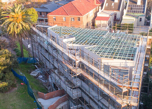
Construction Drone Photography
We are able to conduct regular identical flights over your site to monitor change over times. Improve contributor and stakeholder collaboration by sharing data to anyone with an internet connection, or creating reports in PDF format.
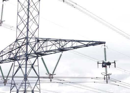
Energy
Safely inspect infrastructures (high voltage lines, pylons, power stations, dams …) without stopping production.
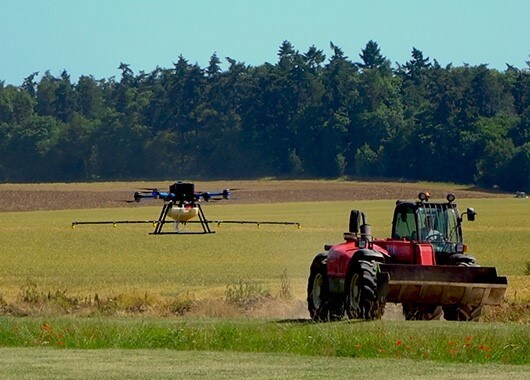
Agriculture
Spraying UAV is an effective solution for spreading and treating agricultural plots on more than 30% slopes.
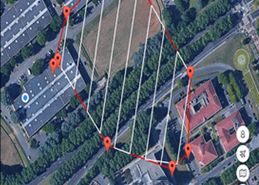
Photogrammetry
Complete or replace your topographic surveys with precise aerial 3D mapping by drone.
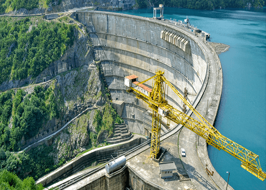
Inspection
Ultimate solution for your georeferenced diagnostics and aerial shots in the most inaccessible areas.

Site supervision
Monitor the progress of the construction site in timelapse or orthophotos to facilitate the project manager’s work.
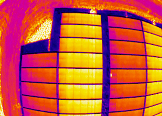
Thermography
Ultimate tool for the thermal imaging of roofs or buildings and detection of defects on solar panels.
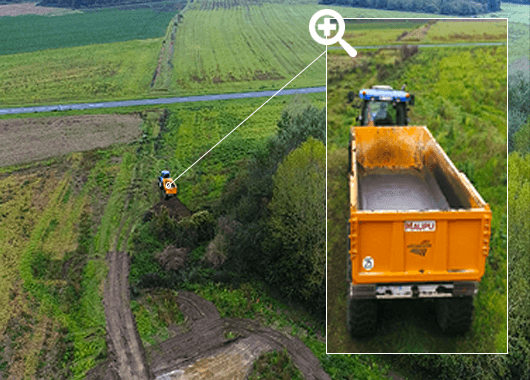
Surveillance
SAMA TWAIQ Services provides aerial surveillance in different environments where safety is a priority.
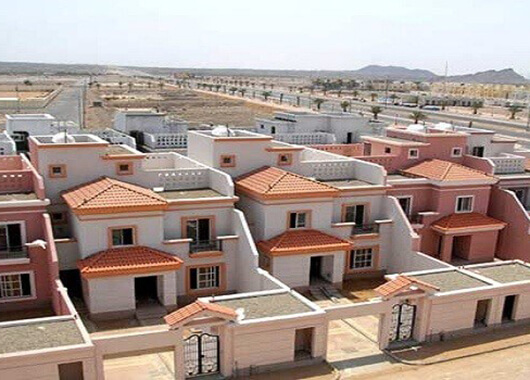
Roof cleaning
SAMA TWAIQ Services innovates by offering aerial roofs and surfaces cleaning thanks to its sprayer drone.

